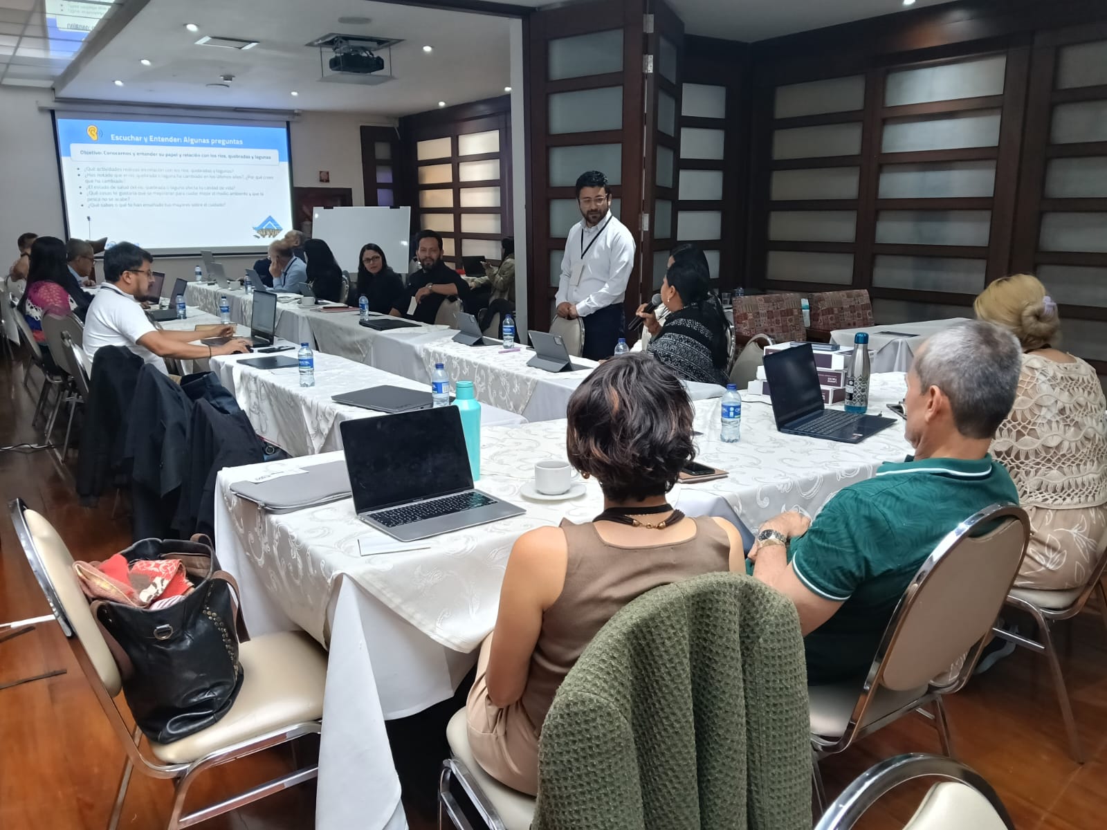
As part of the Amazonian Training Plan for Integrated Water Management, from the Amazonian Network of Water Authorities (RADA), the Amazon Basin Project held, on February 2, with the support of the World Bank, the virtual course “Leveraging cloud data analysis for water: an introduction to the Google Earth Engine (GEE) geospatial processing and analysis platform.” The training brought together more than 60 participants from member countries of the Amazon Cooperation Treaty Organization (ACTO) interested in the use of innovative technologies for water resource management.
Cloud analytics applied to water and climate challenges
The introductory course was taught by two World Bank experts: Nagaraja Rao Harsh, Senior Environment Specialist, working in hydroinformatics, disruptive technologies, and artificial intelligence; and Hrishi Patel, spatial data specialist and consultant to the Knowledge and Information Services (KIDS) team of the Environment unit of the Planet division.
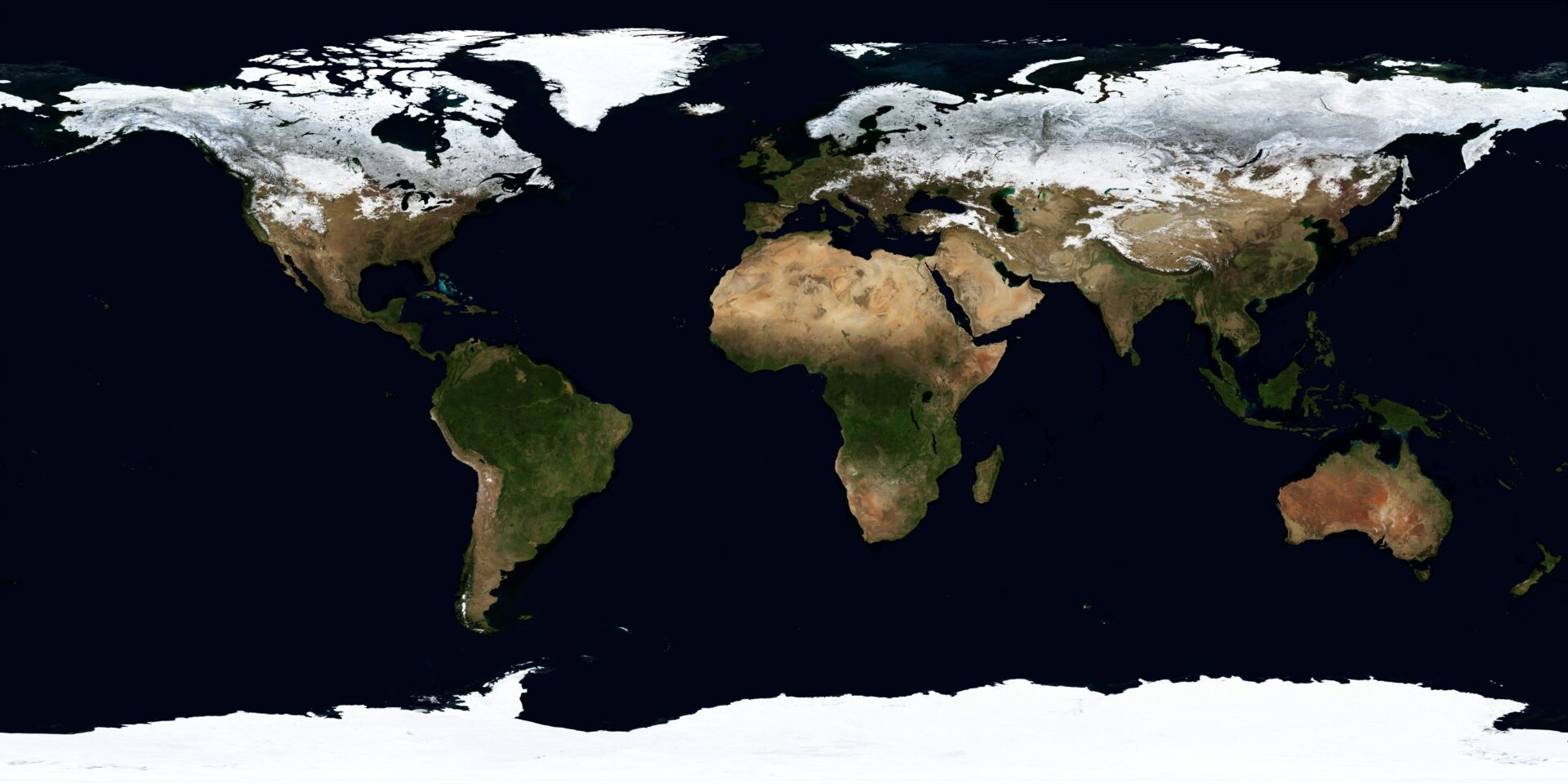
During the training, participants were introduced to the potential of cloud data analytics as a strategic tool for addressing challenges associated with climate change, real-time water management, and environmental monitoring in the Amazon. Using geospatial platforms such as Google Earth Engine (GEE), it is possible to access, integrate, and analyze large volumes of environmental data, allowing for a deeper understanding of the dynamics of Amazonian river basins. In this context, it was emphasized that access to Google Earth Engine and the public datasets available on the platform is free, which facilitates the use of this information by public institutions, technical teams, and researchers.
Based on this approach, the experts highlighted the analytical possibilities of cloud computing and the datasets available on a global and regional scale. Through illustrative examples, they showed how the use of geospatial platforms makes it possible to explore, over time, key information on hydrology, climate, biodiversity, and land use in the Amazon, including historical data going back up to 40 years, broadening our understanding of the region’s environmental dynamics.
Predicting extreme events and monitoring basins
The experts also highlighted how cloud-based hydroinformatics tools make it possible to assess the situation of river basins, predict floods, and analyze hydrological risks based on data from meteorological services in different parts of the world. Platforms such as Climate Engine and solutions developed by the World Bank support the prediction of extreme events, including short-term scenarios such as flood forecasts for the next 15 days.
According to the speakers, the integration of multiple layers of data—climate, hydrology, biodiversity, agriculture, and socioeconomic aspects—represents a significant change in the way geospatial analyses are performed, expanding the response, planning, and decision-making capabilities of public authorities, policymakers, technical teams, and institutions involved in environmental and water management in the Amazon region.
Practical session and use of Google Earth Engine Code Editor
The online training included a practical demonstration dedicated to the Google Earth Engine Code Editor, in which examples of code applied to essential cases of water resources, the environment, and climate monitoring were presented.
The use of the code editor was presented as a central element of cloud data analytics, allowing users to write, test, and execute code that connects different databases, performs advanced analyses, and generates visualizations and analytical products directly in the cloud.
Innovation, artificial intelligence, and future prospects
During the course, the opportunities and challenges of using artificial intelligence in environmental data analysis were also discussed, with an emphasis on the need to maximize its benefits and mitigate negative impacts, such as the energy consumption associated with new technologies.
According to experts, the growing use of AI in the coming years is expected to further transform the way geospatial data is analyzed, contributing to a more accurate understanding of the Amazon and its environmental changes.
The training included the sharing of complementary technical resources and the application of a survey to identify topics of interest for future training sessions, such as open data services and hydroinformatics, existing analytical platforms, flow forecasting, integrated basin management, and basic concepts of artificial intelligence. RADA, through the Amazon Basin Project, intends to advance this series of training sessions, deepening the use of digital and analytical tools that contribute to strengthening the integrated and sustainable management of water resources in the Amazon region.
Related news

Post
7 de May de 2026
The application of open data and digital tools in water management was the central theme of another stage of the [...]

Post
31 de March de 2026
In the region between the Xingu and Iriri rivers, known as Terra do Meio, in the Brazilian Amazon, areas previously [...]

Post
30 de March de 2026
On March 5 and 6, 2026, the city of Bogotá, Colombia, hosted a technical meeting that brought together experts and [...]