The Amazon Basin Project is dedicated to establishing and operationalizing an Integrated Water Resources Monitoring System, adhering to international technical standards. This system will serve as a crucial resource for ACTO Member Countries, providing access to regional data essential for informed decision-making, while fostering deeper South-South cooperation in integrated environmental monitoring across the basin.
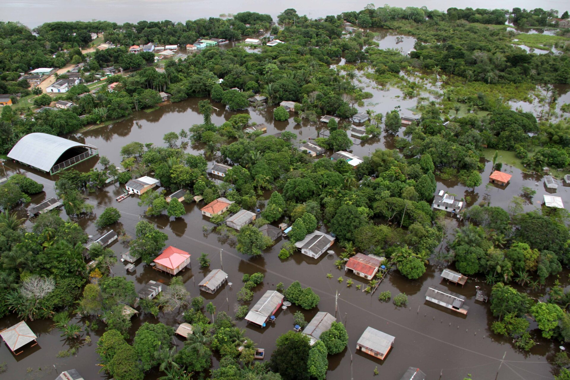
Covering an expansive area of 600 million hectares, the Integrated Environmental Monitoring System will significantly enhance the region’s resilience against the impacts of extreme weather events and rising sea levels. This enhanced resilience will directly benefit communities and ecosystems, ultimately bolstering the water and food security of the Amazonian population.
At the core of this system lies the integration of the Regional Water Quality Network (WQN), inclusive of specialized laboratories, and the Amazon Hydrometeorological Network (AHN), tasked with measuring water levels, flow rates, and rainfall patterns. Established through collaborative efforts among ACTO Member Countries in 2019, as part of the Amazon Project: Regional Action in the Area of Water Resources (ACTO/ANA/ABC), these networks operate within the Amazon Networks Module of the Amazon Regional Observatory (ORA), utilizing data collected from 153 hydrometeorological stations. Together, they generate consistent, verifiable, and comprehensive regional data on various water quality parameters and hydrological indicators crucial for effective basin management.
Moreover, the Integrated Water Resources Monitoring System will encompass data pertaining to groundwater, glaciers, vulnerable ecosystems, erosion processes, and sediment transport. To ensure the sustainability of this system at both national and regional levels, the Project has outlined plans for the development of a comprehensive technical training program for participating countries and the formulation of a robust sustainability plan.
Related news
Post
14 de December de 2023
The border region between Bolivia, Brazil, and Peru, in the southwest of the Amazon, harbors an extensive area of preserved [...]
Post
6 de March de 2023
ACTO will facilitate the articulation between the countries to obtain compatible information on the entire basin and thus inform decision [...]
Post
27 de February de 2023
Alexandra Moreira, Secretary General of the Amazon Cooperation Treaty Organization (ACTO) will chair the Regional Workshop on Monitoring Water Resources [...]


