Topics
Amazon Basin Project, Amazon Cooperation Treaty Organization (ACTO), Cuenca Amazónica, GEF - Fundo Global para o Meio Ambiente (FMAM), Integrated Water Resource Management (IWRM), Países Miembros, Proyecto Cuenca Amazónica, Strategic Actions Program (SAP), United Nations Environment Programme (UNEP)
Share
Alexandra Moreira, Secretary General of the Amazon Cooperation Treaty Organization (ACTO) will chair the Regional Workshop on Monitoring Water Resources in the Amazon Basin, an event where new satellite technology for hydrological monitoring from space will be presented. The meeting will be attended by the 8 Focal Points of the Amazon Basin Project and representatives of UNEP, GEF, WMO, IRD, IHP-Unesco and HYBAM, among others, on February 28 at ACTO headquarters in Brasilia.
Among the key topics is the presentation of the SWOT satellite in orbit, which will be surveying the Earth’s waters until 2026. In our region, the satellite will be measuring the waters of the Amazon Basin and its mode of operation will be unveiled at the event.
The Workshop will be held at a critical time for the region, characterized by important challenges and threats, among them climate change and its impact on the largest hydrographic basin on the planet.
Alexandra Moreira, in an interview with the Amazon Basin Project, analyzes the advances in the implementation of integrated management of transboundary water resources to face the major challenges of the region, highlighting the importance of cooperation between the countries of the basin, at a time when the Strategic Actions Program (SAP) is being implemented with real commitment by ACTO Member Countries.
Mrs. Moreira, could you tell us how important will the use of the satellite be in monitoring the water resources of the Amazon Basin?
For us, as an Amazon region, for the scientific world and the entire sector dedicated to the study of water resources, whether surface water or groundwater, this satellite implies a significant advance in the measurement of bodies of water, in having a better scanning. It will be able to provide us with more data, which will help us generate more information for the monitoring of water resources, for the integrated management of water resources, for transboundary management, with the common objective of ensuring water security at the national and regional level.
It is a substantial contribution, not only as an element of technology, but also as an element for public management, as a working tool for public officials working in the sector and obviously also for the research sector, we believe that this satellite will bring many fruits.
Now, the satellite has been launched by the United States and France, (represented in the Workshop by the Institute of Research for Development, IRD). We, as an organization, are looking for the possibility of working together to take advantage of the different applications of the satellite, images, data, information, since we understand that it is going to be information open to the public, that is why we effectively want to bring it to ACTO, to the Amazon Regional Observatory and try to share it with our eight countries, because they have monitoring systems and also do important work in generating information on the behavior of our surface waters, therefore, the additional benefit will help us in the task we have.
Water pollution is the first transboundary problem in the region, according to the Strategic Actions Program (SAP) of the Amazon Basin Project, could you explain the causes identified by ACTO?
Unfortunately, we have different types of pollution, chemical, biological, physical, mixed, activities such as the extraction of raw materials that serve many of our countries for export and are part of our economic activities. In the Amazon, when extracting raw materials such as gold and oil, different types of pollutants are generated, starting with the mercury used for gold extraction.
Approximately, more than 40 million inhabitants live in the Amazon region, where there are important cities in our countries, which do not have adequate sanitation, so the wastewater goes directly to these bodies of water.
There are several sources of contamination that are impacting the quality of surface water. In the coming months, we will present a study on water quality in the Amazon region.
Regarding the Regional Workshop on Monitoring of Water Resources in the Amazon Basin, what benefits are expected to be obtained from this exchange of knowledge?
Extending a monitoring network for the Amazon Basin is one of the tasks of our countries, starting with the implementation of the Strategic Actions Program. It is essential, we need real-time, updated information to assume and decide on public policies, different activities, initiatives and projects that can be implemented in public management, in order to achieve an adequate management of water resources.
In this workshop, in the first instance, we will learn what is being done in each of our countries in terms of monitoring water resources and then move on to what we are doing as a region, through the Amazon Cooperation Treaty Organization with the Amazon Regional Observatory and the Situation Room, which has already developed two important networks, the water quality and hydrometeorological, and we are facing four more monitoring networks that will be developed over time.
We are also going to analyze the importance of this monitoring to be included in an early warning system, in order to have a much more adequate function on floods, droughts, forecasts, and to be able to have our own climate and simulation scenarios, not only predictive but also corrective, for the administration of our public managers.
We have also invited some institutions such as the WMO and UNESCO with its Hydrological Program. We will also be sharing UNEP’s work on transboundary waters. With the IRD, we will talk about the satellite monitoring that they are developing and the possibilities of being able to work in cooperation with the system they have, with the SWOT satellite and with all the technological development that they are generating.
So we have these three sections to be able to address in a comprehensive manner, how we can improve the monitoring that we need in the Amazon Basin.
What findings about the Amazon River could you highlight thanks to OTCA’s Amazon Regional Observatory (ORA)?
The Amazon Regional Observatory is quite new. In 2021, we will inaugurate it with the Situation Room. Regarding water resources, we are working on its infrastructure; two important networks are already installed.
There are findings in every sense, from the fact of being able to place eight countries with technologies, with different governments, with different systems of information, monitoring and work, and also protocols, to generate all this data collection. It has not been easy to coordinate the eight countries to be able to standardize certain data, to establish and develop protocols at the level of the eight countries that can interoperate the data and that can share this information in real time or that can work in the same map formats. That is the biggest challenge.
There are a series of issues, beyond the punctual findings of quality, of what type of pollutants exist. Let us not forget that, within our organization, we have different types of countries with marked asymmetries. Part of all this work goes a little beyond the specific findings, on issues that sometimes we want to know, what happens with mercury or agrochemicals. This information is being uploaded to the system from the information of the countries themselves because we do not want to install a network from scratch, but rather to promote the need to integrate the information of the countries for this monitoring network of the Amazon Basin.
There are several aspects to highlight, for example, how to share important data in tri-national borders, in bi-national borders, so that we do not understand that the monitoring network is only to be able to monitor three or four indicators, but really everything that happens behind this shared information, or this information that we can provide to the Ministries of Civil Defense, to the national water agencies or the different Ministries that have to do with all this regulation or with all this implementation of activities of the Observatory.
The integrated monitoring of water resources in the Amazon Basin based on networks is one of the main activities being implemented under the Strategic Actions Program (SAP) for the strengthening of Integrated Water Resources Management, adaptation to climate change and knowledge management and exchange.
Related news
Post
17 de December de 2025
On December 11, the Amazon Basin Project (ACTA/UNEP/GEF) held a Seminar on the Exchange of Cooperation Experiences for the Management [...]
Post
16 de December de 2025
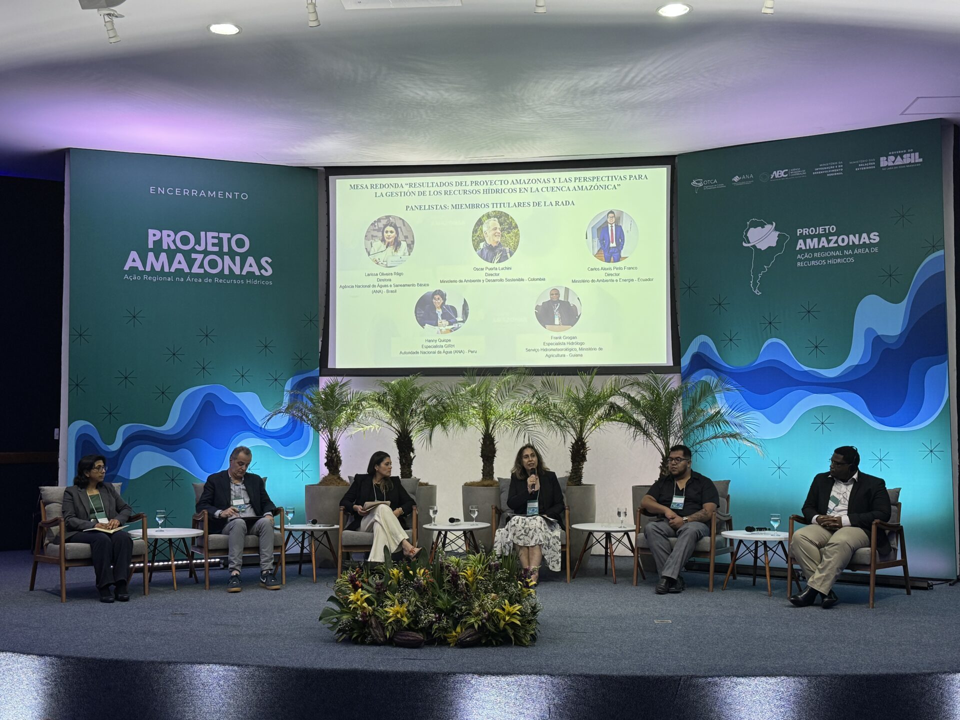
The roundtable discussion “Results of the Amazon Project and Prospects for Water Resource Management in the Amazon Basin” was held [...]
Post
28 de November de 2025
Water is the central element through which most of the impacts of climate change manifest themselves: more intense droughts, extreme [...]


