Index
Topics
Share
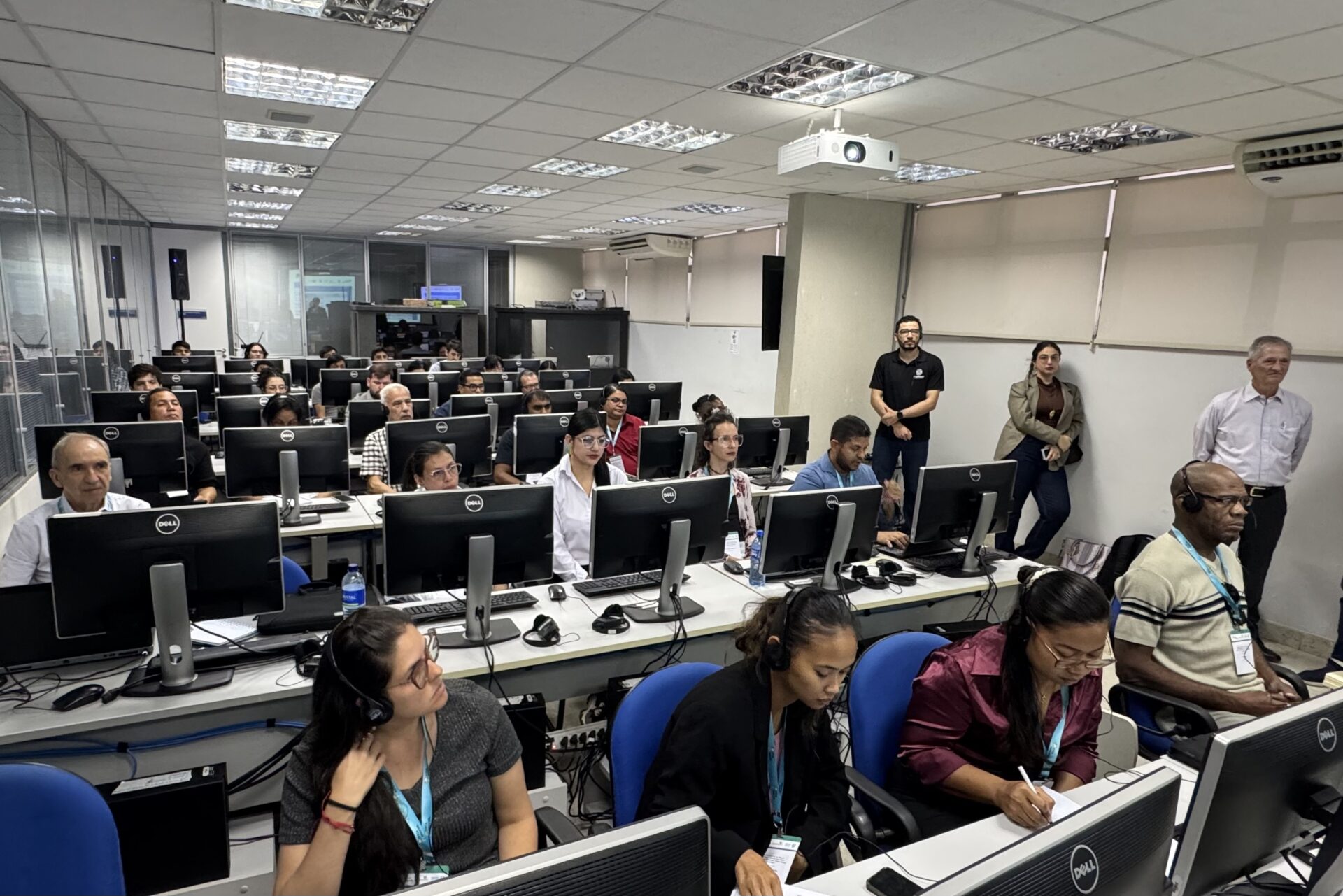
The Amazon Basin Project (ACTO/UNDP/GEF), in association with the Inter-American Development Bank (IDB) and the University of Maryland, held an online course in February 2026 on the use of the HydroBID hydrological model and the WHAT-IF tool, as part of the preparation for the national and regional Intersectoral Roundtables scheduled for the second half of the year.
These technical dialogue spaces will bring together representatives from different sectors to analyze scenarios and support coordinated decision-making within the framework of the implementation of the Strategic Action Program (SAP)
The training, which was attended by more than 60 representatives from the Water, Energy, Food, and Environment sectors of the eight Member Countries of the Amazon Cooperation Treaty Organization (ACTO), consisted of a package structured in two complementary modules, with a total workload of 30 hours distributed over five days. The first module was dedicated to HydroBID, a hydrological simulation model used to analyze water availability, climate scenarios, and impacts on water resources in the Amazon basin. The second module, focused on WHAT-IF, addressed the analysis of intersectoral scenarios, using hydrological data and other variables to assess the interactions, synergies, and trade-offs between water, energy, food, and ecosystems.
Technical training with practical application
The HydroBID course presented advances in hydrological modeling developed over the last four years within the Nexus approach in the Amazon. During the activities, participants learned how to use the model with the support of QGIS software, including data loading and organization, climate parameterization, system calibration and validation, as well as the interpretation of hydrological scenarios applied to water resource planning.
The training was given by Silvia Regina Santos da Silva, a researcher at the University of Maryland (USA), and Fekadu Moreda, a senior hydrological modeler at RTI International (Research Triangle Institute). Officially designated members of the Regional Water-Energy-Food-Ecosystems Nexus Group participated, comprising government representatives from the water, energy, food, and environment sectors of the eight Amazonian countries, as well as technicians from ACTO’s Amazon Regional Observatory (ARO).
According to Silvia Regina Santos da Silva, HydroBID was developed to expand access to hydrological modeling tools and support data-driven decision-making. It is a free platform designed to facilitate its application by different types of users, which uses geospatial databases to digitally represent river basins and river sections, allowing for the analysis of water availability and the evaluation of different hydrological scenarios in regions such as the Amazon.
The activity was structured to ensure that the experts who will participate in future Intersectoral Roundtables master the analytical tools that will support technical dialogue between sectors that are traditionally planned separately.
The Nexus tool in the context of the Amazon
The Nexus approach—or water-energy-food-ecosystems nexus—proposes an integrated analysis of the interdependencies between strategic sectors. Water use depends on energy; electricity generation requires water availability; food production requires water and energy resources; and the health of ecosystems requires a constant demand for water. Decisions made in isolation can have significant impacts on other sectors.
Between 2021 and 2023, the Amazon Basin Project, with support from the Inter-American Development Bank (IDB), the University of Maryland, and the Amazon Regional Nexus Group, developed the Nexus model for the Amazon. In 2025, the model was put into operation and integrated into the Amazon Regional Observatory (ARO), becoming a computational tool capable of running simulations, integrating regional databases, and generating comparative scenarios to support evidence-based decisions.
The Nexus tool combines HydroBID’s hydrological modeling with WHAT-IF’s intersectoral analysis, allowing for the integrated assessment of sectoral impacts and their interrelationships.


Michael Aparco, a professional in Transboundary IWRM at the National Water Authority of Peru (ANA) and a participant in the course, highlighted the value of these tools for strengthening water risk management in the region. “The use of hydrological models such as HydroBID allows for the analysis of scenarios and the strengthening of early warning systems. This is especially relevant for initiatives such as EWS Tri-National, which the Amazon Basin Project is developing on the border between Peru, Brazil, and Bolivia,” he said.
Next step: Intersectoral Roundtables
With the technical training, the Amazon Basin Project is moving forward with the organization of national and regional intersectoral roundtables in the second half of 2026. These spaces will bring together representatives from different sectors to analyze scenarios, discuss impacts, and identify integrated solutions based on the evidence generated by the Nexus tool.
At these meetings, the tool will be used in combination with the Nexus approach methodology developed by the United Nations Economic Commission for Europe (UNECE), contributing to a more informed dialogue and strengthening more coherent and sustainable decisions for the Amazon region.
The courses therefore represent a strategic step toward consolidating the technical foundations of this process and advancing the application of the Nexus approach as a concrete practice of integrated management in the Amazon Basin.
Related news

Post
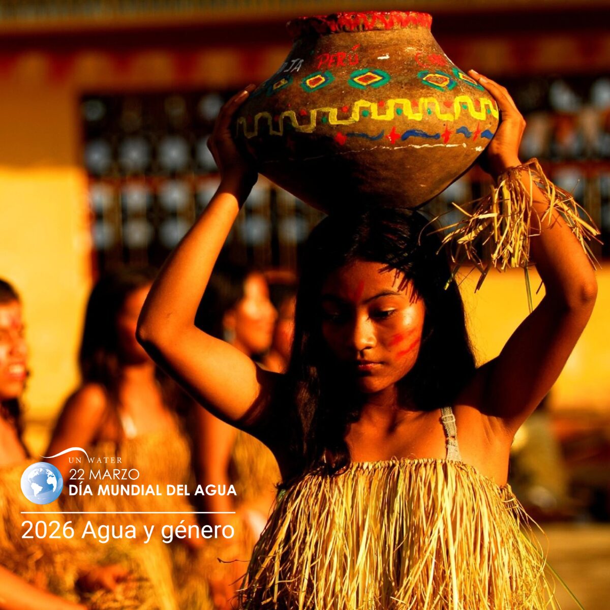
22 de March de 2026
World Water Day, celebrated on March 22, is a date established by the United Nations (UN) and, in 2026, features [...]

Post
11 de March de 2026
The eight Amazonian countries, working within the framework of the Amazon Cooperation Treaty Organization (ACTO), have been jointly strengthening their [...]

Post
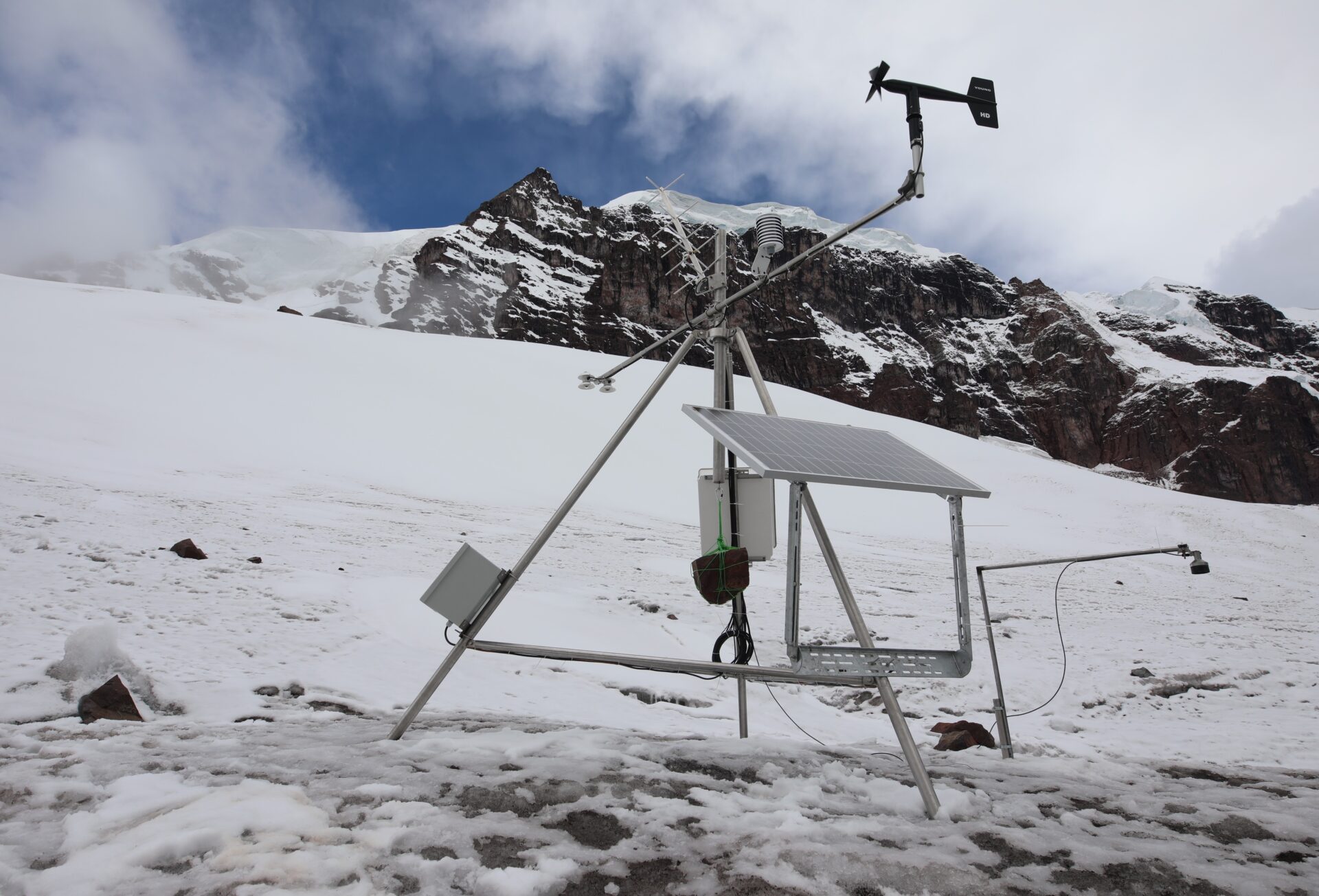
27 de November de 2025
Four glaciological, meteorological, and hydrometric monitoring stations have been installed in the Vilcanota and Carabaya mountain ranges in southern Peru [...]