
The Amazon Basin Project (ACTA/UNEP/GEF) promoted the Regional Course on Space Hydrology: Monitoring river levels and sediment flows by satellite, in Brasilia, between September 1 and 5, in partnership with the Research Institute for Development (IRD-France) and with support from the National Water and Basic Sanitation Agency of Brazil (ANA). More than just training specialists, the course marked the beginning of the experimental phase of an Amazonian satellite monitoring network, aimed at strengthening the integrated and sustainable management of water resources in the region by combining conventional monitoring with space technologies to generate more accurate data on Amazonian rivers.
For five days, water resource and environmental monitoring specialists from the Member Countries of the Amazon Cooperation Treaty Organization (ACTO) participated in theoretical and practical sessions on the use of satellites to measure river levels and monitor sediment concentration. The course also served as a forum for the exchange of national experiences and an introduction to remote sensing methodologies applied to the Amazon, based on the knowledge accumulated by the HYBAM Observatory. Created more than 20 years ago, HYBAM is an international network for hydrological and water quality monitoring—including sediments—led by IRD in cooperation with scientific and operational institutions from five Amazonian countries.
-
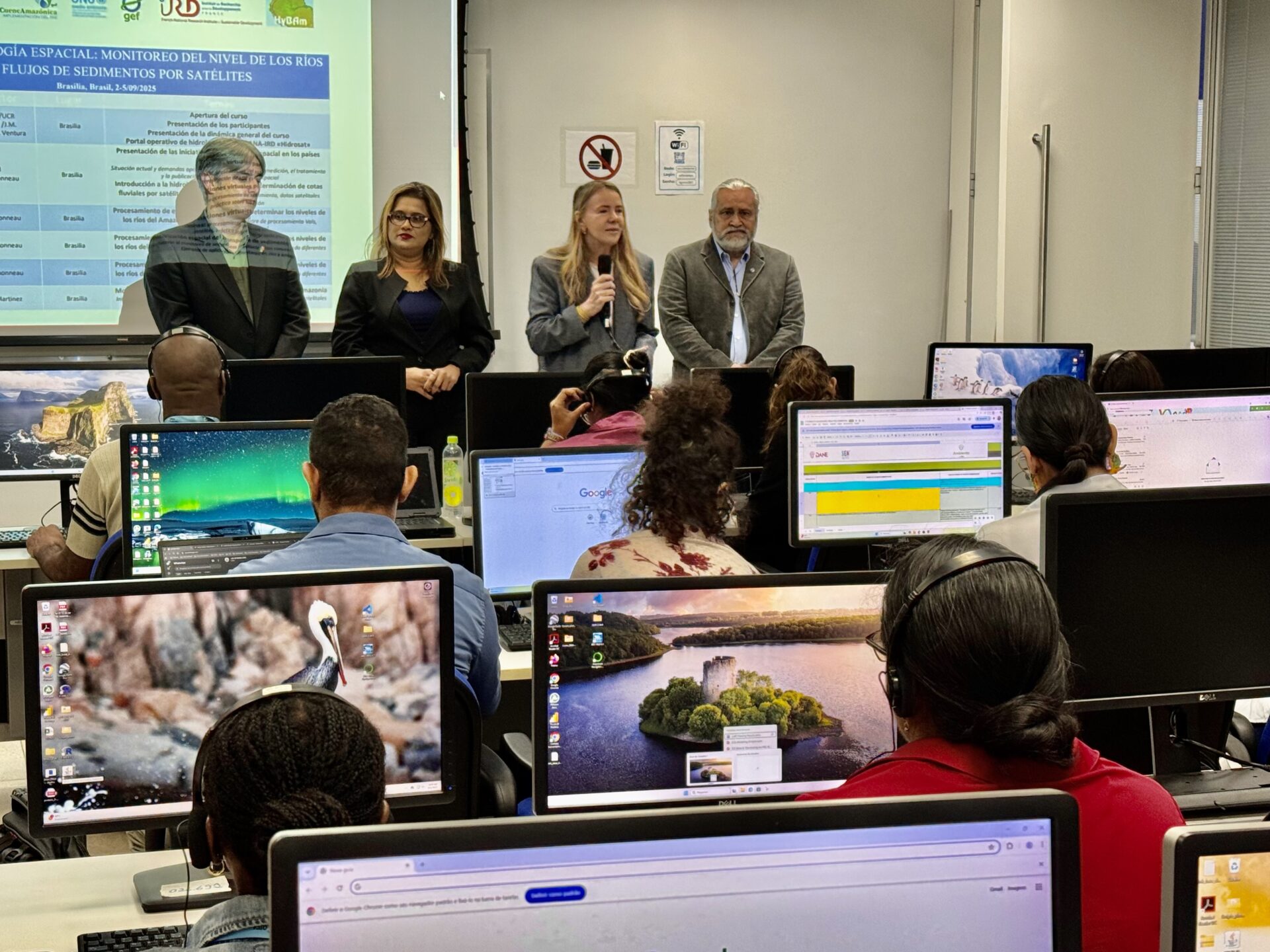
- Regional course opening with ACTO Executive Director Vanessa Grazziotin, who highlighted the commitment of Amazonian countries to science and innovation for the sustainability of the region.
-
- Participants from the eight Amazon countries during the opening of the Regional Course on Satellite Hydrology.
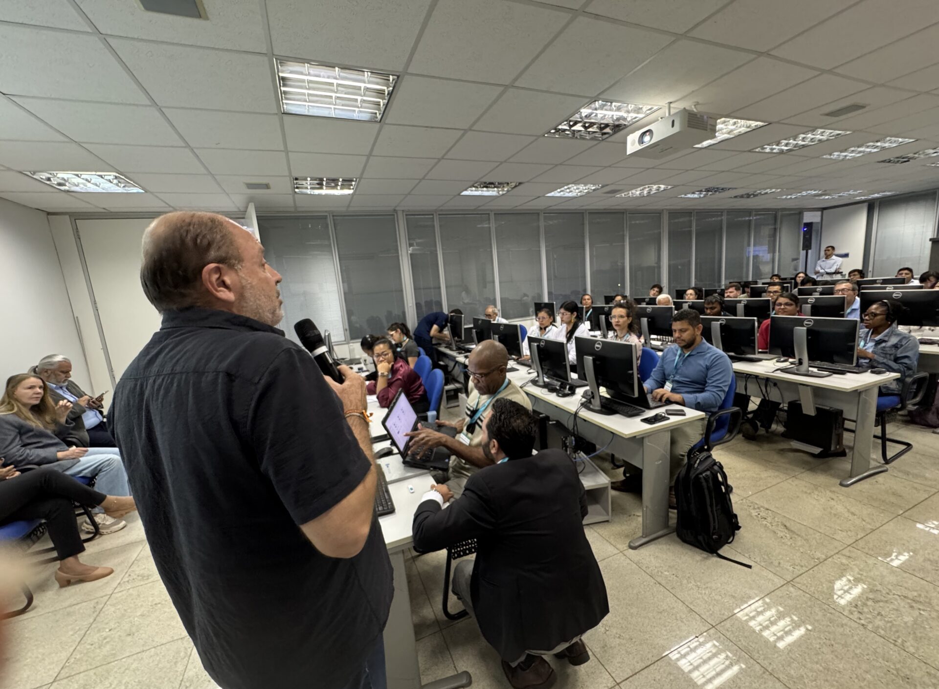
From technical content to applied practice
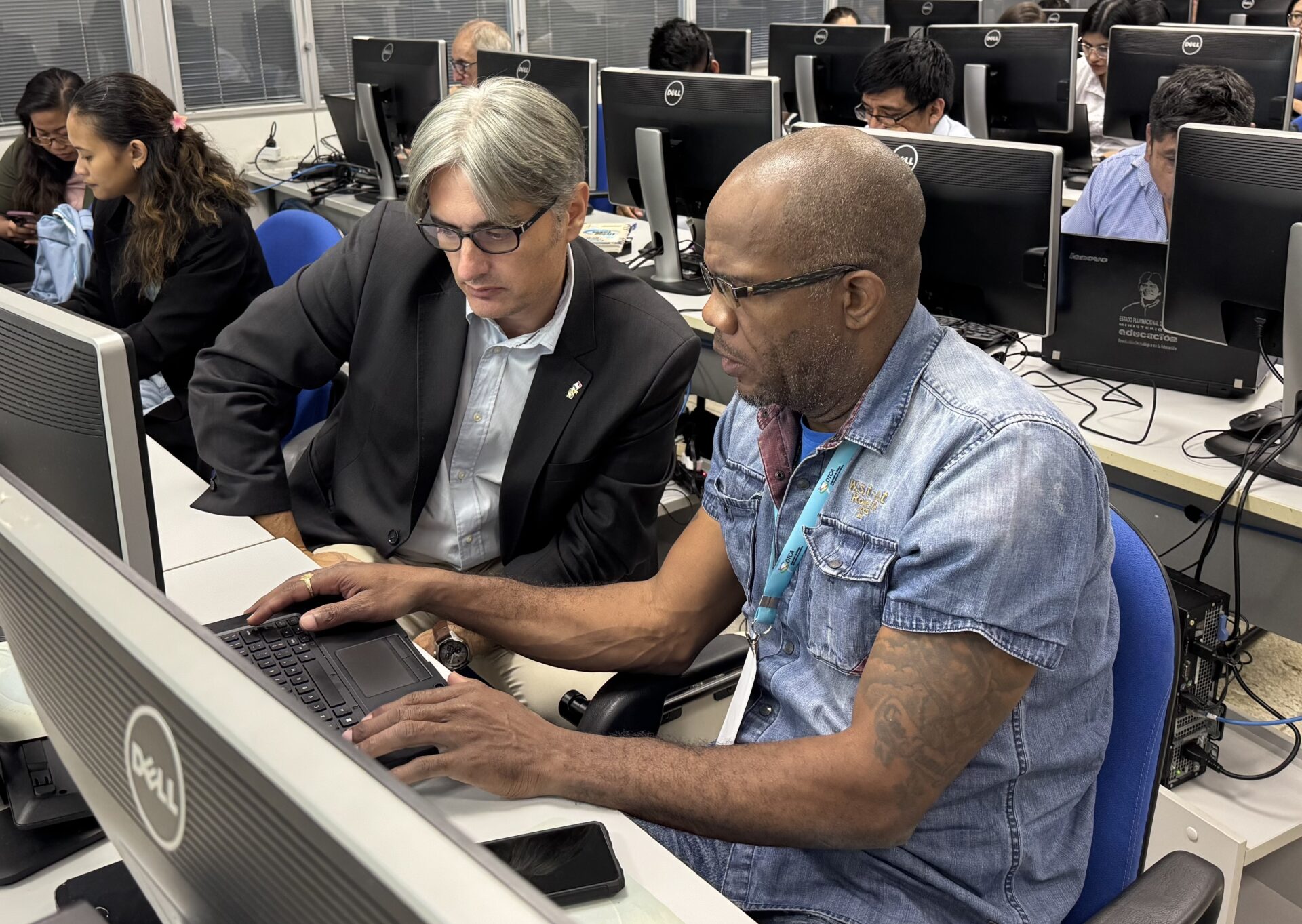
The course program ranged from an introduction to spatial hydrology—with concepts, processing steps, available satellite data, and validation methods—to the practical application of Vals, software developed by Gérard Cochonneau, an IRD specialist in hydrometry and spatial hydrology and course instructor. The tool is used to create virtual stations and determine the levels of Amazonian rivers.
The 30 participants also learned about techniques for spatial monitoring of sediment transport, comparing conventional methodologies—based on field collections and hydrological stations—with observations made from satellites, which increase the coverage and frequency of measurements. Practical examples of application in rivers and reservoirs were presented, as well as concepts of radiometry in water bodies, which explain the interaction of light with the components of water and allow its properties to be characterized.
According to Jean-Michel Martinez, IRD Research Director and course coordinator, the combination of conventional and satellite methods is essential: “Conventional monitoring ensures the accuracy of data collected in the field, while satellite monitoring provides a regional and continuous view. Together, they offer more robust information for water resource management in the Amazon,” he said.
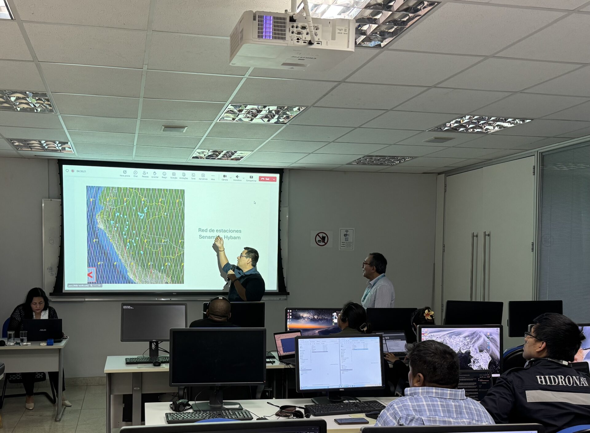
The course also included analysis of satellite sensor characteristics, processing methods for product generation, and numerical analysis tools, such as routines for creating maps of suspended sediment distribution on the water surface. One of the central activities of the course was the processing of temporal maps from images from Sentinel-2, a European satellite that is part of the Copernicus Program, the world’s largest satellite-based environmental monitoring initiative. This resource allowed participants to view and analyze time series of Amazonian rivers.
-
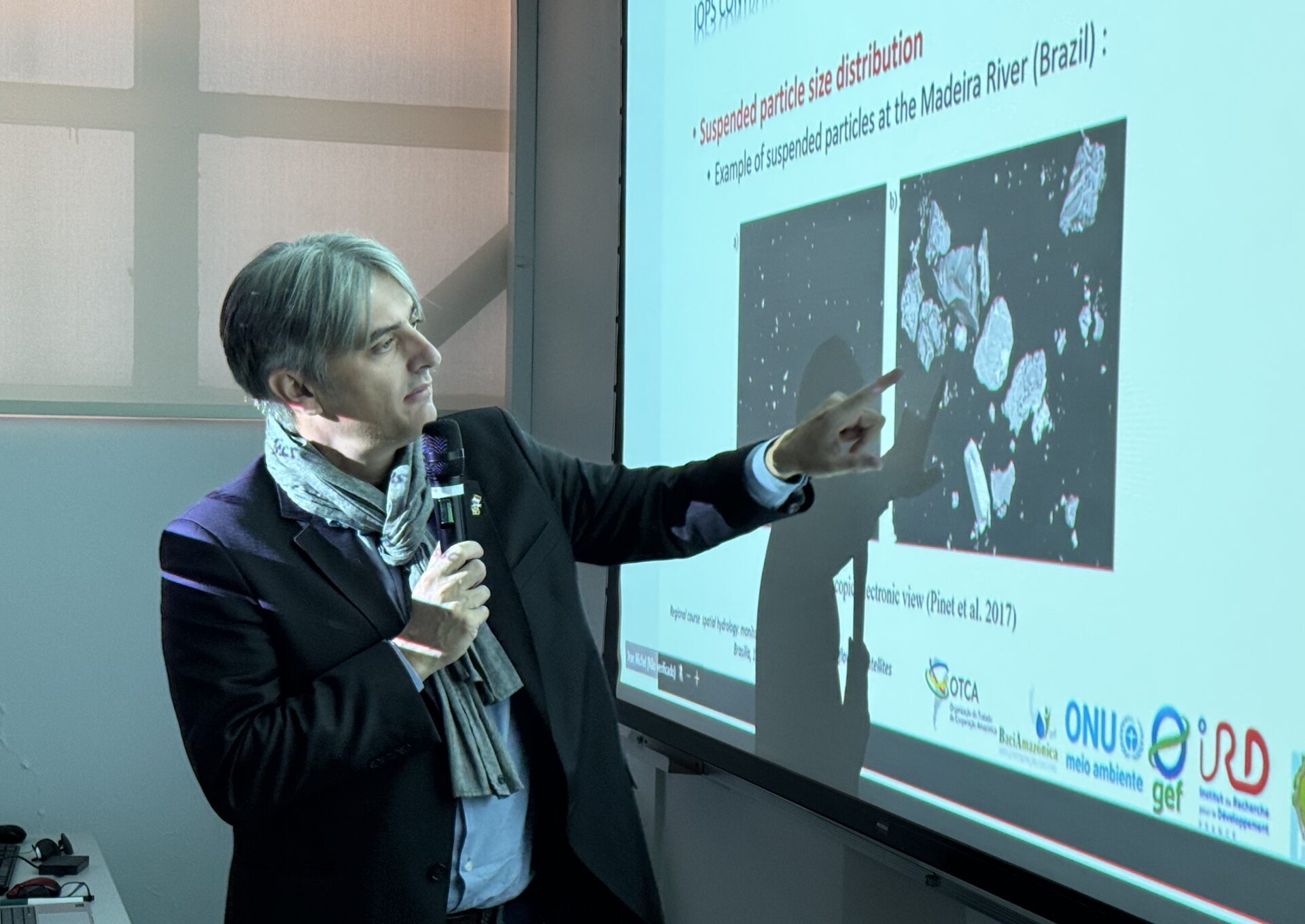
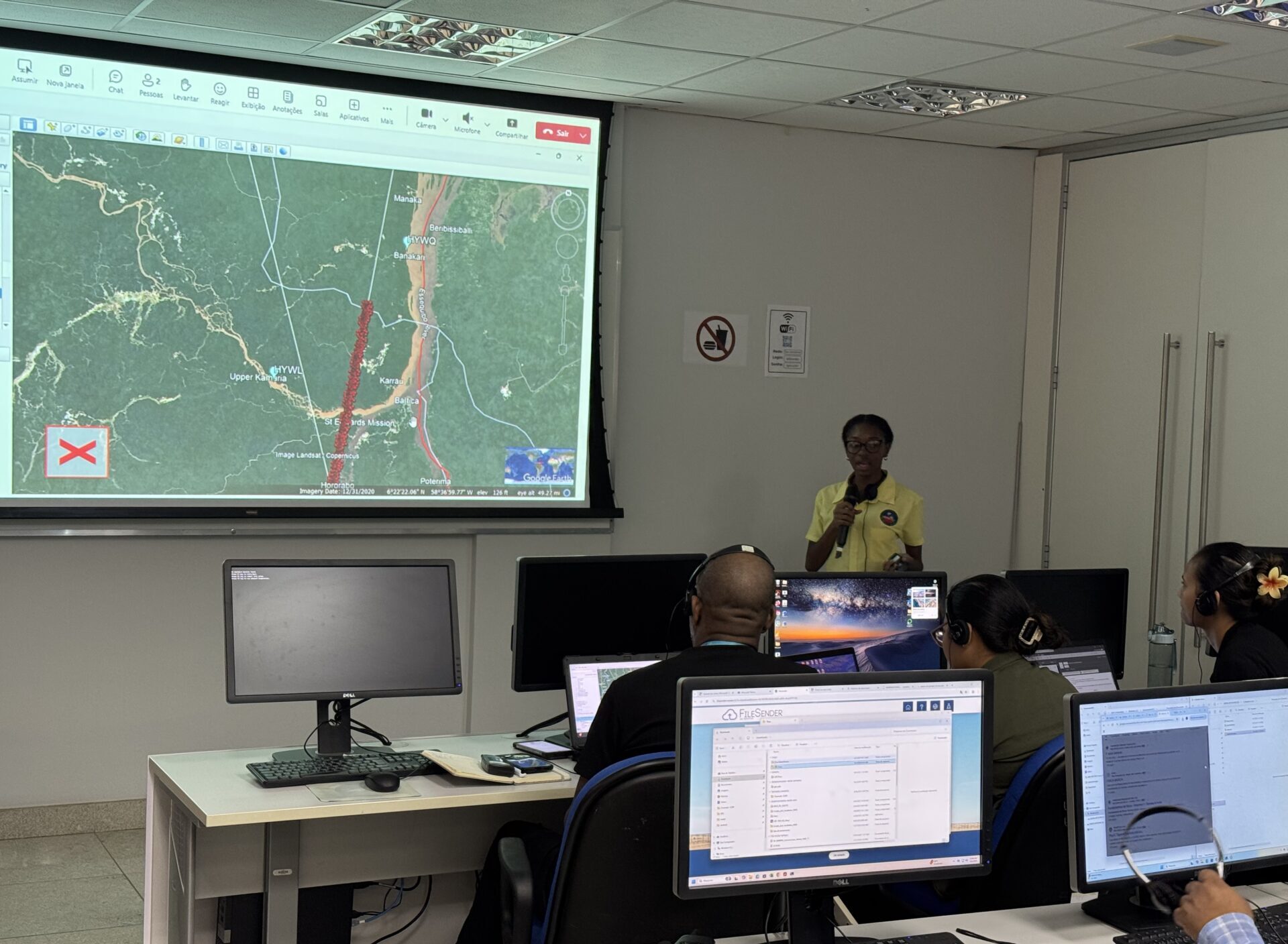
- Theoretical class on spatial monitoring of sediment transport in the Amazon, taught by instructor Jean-Michel Martinez (IRD).
-
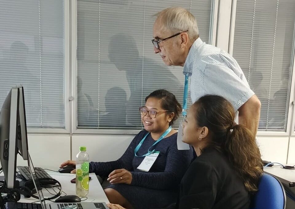
- Students create virtual stations to determine the water levels of Amazonian rivers, under the supervision of instructor Gerard Cochonneau (IRD).
-
- Practical class on processing time series maps from Sentinel-2 images, led by instructor Jean-Michel Martinez (IRD).
For student Héctor David García, from the National Institute of Meteorology and Hydrology (INAMEH) in Venezuela, the course marked a starting point: “The methodology presented is very useful and should be applied not only in the Amazon, but in all river basins in Venezuela. We will disseminate this knowledge within INAMEH so that our engineers can also learn, since the country does not yet perform this type of satellite monitoring. In this experimental network, we will use historical data, when available, as well as field data to validate the model,” he said.
According to Haymawattie Danny, Deputy Chief of Guyana’s Hydrometeorological Service, the experience has expanded the country’s participants analytical capacity: “We have learned to look at the basins spatially and correlate satellite information with field data, obtaining a more complete picture of the dynamics of our rivers. This will allow us to develop products that are more tailored to the reality of Guyana and useful to its population,” she emphasized.
First steps of a regional satellite monitoring network
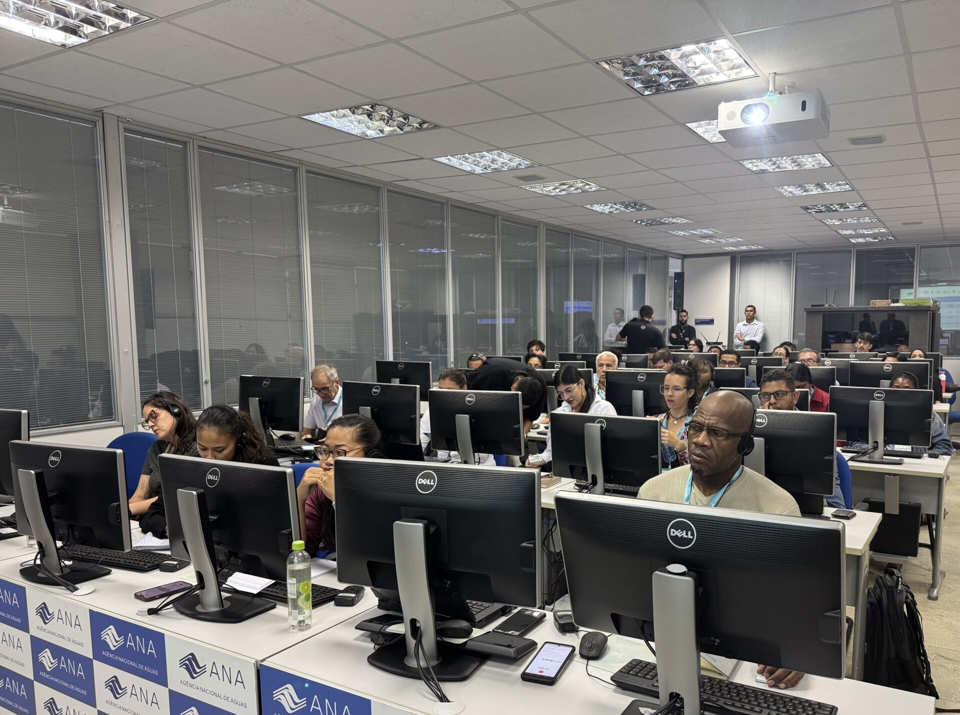
During the practical sessions of the course, participants created virtual stations to monitor water quality indicators, focusing on the concentration of suspended sediments in Amazonian rivers. The initiative represents the first step in the formation of a regional satellite monitoring network. In total, eight stations were developed—one per country—each dedicated to monitoring specific points. In the three months following the course, instructors will accompany the national groups in monitoring and analysis, guiding the application of the protocols worked on in the classroom. Each group will use free data available on online platforms to better understand the processes of sediment transport in the monitored locations.
“The creation of these virtual stations is intended to monitor suspended sediments, turbidity, and the presence of chlorophyll in the water. Our hope is that, by learning this way of working, the data collected will be processed within a regional network and converted into useful information for Amazonian countries, subsidizing research projects, guiding public policies, strengthening climate change adaptation measures, and supporting integrated and sustainable water management actions throughout the region,” explained Naziano Filizola, senior consultant for the Amazon Basin Project.
-
- Professor Naziano Filizola, consultant for the Amazon Basin Project, presents the proposal for the experimental satellite monitoring network to participants.
-
- Participants from Peru present their national project for the experimental satellite monitoring network.
-
- The Guyana team presents its national project, which is part of the experimental satellite monitoring network, to the group.
For Chanelle Djojobesari, technical assistant in meteorology at the Ministry of Public Works and Spatial Planning of Suriname, the virtual sediment monitoring station is an unprecedented opportunity for the country, which does not have automated stations to measure the water quality of its rivers. “The experiment with virtual stations and the creation of the Amazon network are the impetus for us to seek funding and collaboration with international institutes, in addition to acquiring automatic instruments for measuring water quality,” she said.
The course in Brasilia concluded with a visit to ACTO’s Amazon Regional Observatory (ARO), which integrates and provides strategic information about the region. The activity allowed participants to learn about the functioning of the Amazon Hydrological Network (AHN) and the Water Quality Network (WQN), which gather data produced by the eight Amazonian countries and are essential tools for regional cooperation in water management.
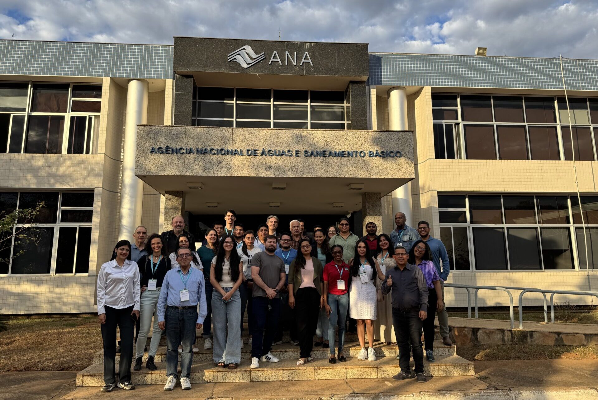
Official photo of the group participating in the Regional Satellite Hydrology Course.
Related news
31 de March de 2026
In the region between the Xingu and Iriri rivers, known as Terra do Meio, in the Brazilian Amazon, areas previously [...]
30 de March de 2026
On March 5 and 6, 2026, the city of Bogotá, Colombia, hosted a technical meeting that brought together experts and [...]
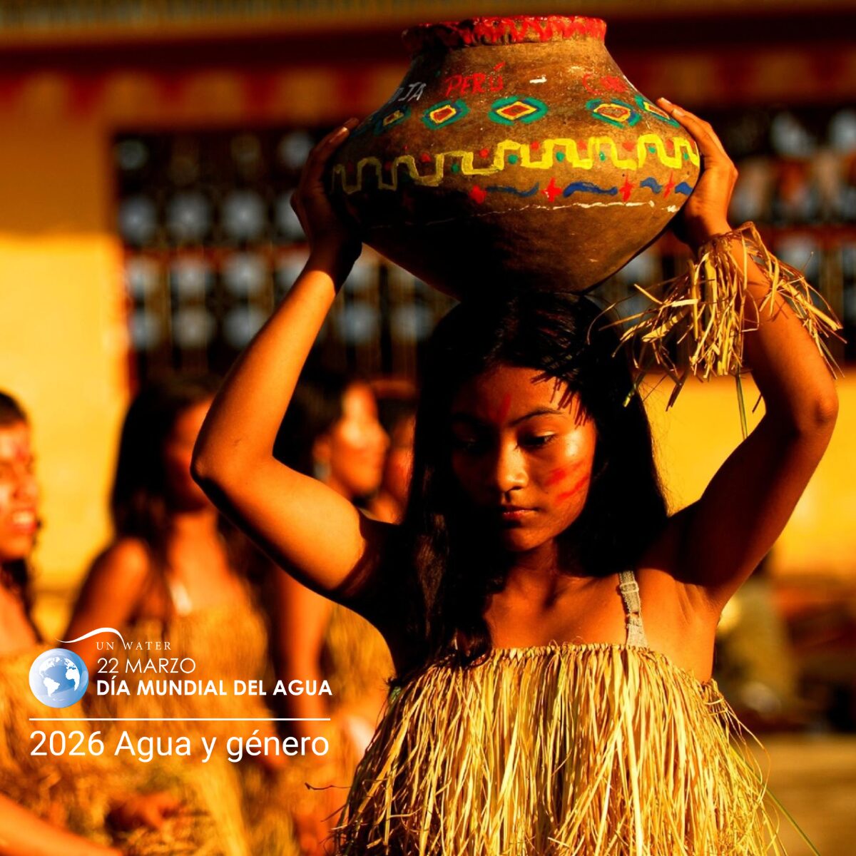
22 de March de 2026
World Water Day, celebrated on March 22, is a date established by the United Nations (UN) and, in 2026, features [...]
