The application of open data and digital tools in water management was the central theme of another stage of the Amazonian Capacity-Building Plan of the Amazon Network of Water Authorities (ANWA), promoted by the Amazon Basin Project (ACTO/UNEP/GEF) on April 13, 2026. The virtual course, entitled “Open Data Services and Hydroinformatics,” was supported by the World Bank and brought together 60 water resources managers from the Member Countries of the Amazon Cooperation Treaty Organization (ACTO).
Lasting two hours, the course continued the training held in February this year on the use of the Google Earth Engine (GEE) platform for water-related data analysis. This time, the focus was on new trends in open data and the use of hydroinformatics as a strategic tool for water management.
Hydroinformatics, which applies information technology, computational modeling, and data science to water management, was presented as an essential field for modernizing the monitoring and analysis of water resources, enabling data integration and the generation of strategic information for planning and decision-making.
Technology and data to address growing challenges
Water security in the Amazon Basin faces increasingly complex challenges, such as rising water demand, intensified pollution, and land-use changes that directly impact the hydrological cycle. Climate variability and climate change further intensify these effects, making extreme events such as droughts and floods more frequent.
In this context, hydroinformatics was presented as an essential field for modernizing the way water resources are monitored and analyzed, allowing the integration of data and the generation of strategic information for planning and decision-making.
New tools expand analytical capacity
One of the main highlights of the training was the presentation of portals and platforms that compile open data on hydrology, climate, and land use, with relevant applications for the Amazon Basin. Based on the combination of technologies such as satellites, drones, sensors, cloud analysis, and artificial intelligence, these tools make it possible, for example, to visualize and analyze information on precipitation, river dynamics, and changes in vegetation cover, supporting monitoring and decision-making in water management.
According to Nagaraja Rao Harshadeep, Senior Environmental Specialist at the World Bank, these tools are transforming water management on a global scale:
“Today, we are able to integrate large volumes of data — from field measurements to high-resolution satellite information — to understand what is happening in river basins based on real-time data and historical series. On top of this integrated foundation, artificial intelligence enables more comprehensive analyses and faster, evidence-based decisions.”
In this regard, he emphasized that these advances also depend on coordination among different monitoring scales, including community-based monitoring:
“When we combine data from community monitoring systems with observations made from space — such as river levels, precipitation, and land-use changes — we achieve a much more complete and integrated view of river basins.”
Discussion highlights progress and limitations in the use of data for water management
The session also provided space for questions from participants, highlighting both the interest in and the challenges related to the use of data and technologies in water resources management.
Among the topics raised was the difficulty of modeling complex phenomena such as the Amazon’s so-called “flying rivers,” which are still limited by the lack of consolidated data and tools capable of analyzing this dynamic in an integrated manner.
Another point discussed was sediment transport, considered one of the most challenging aspects of hydrological analysis, especially due to the need for high-quality data and the limitations of currently available tools, which still lack consolidated global solutions.
Finally, participants also asked about the possibility of modeling water quality and contamination levels using these tools. In response, Hrishikesh Patel (Hrishi), Spatial Data Specialist at the World Bank, emphasized that there have already been important advances in this area:
“Currently, satellites such as Sentinel-3 and Landsat 8 are regularly used to assess water quality, together with data collected in the field.”
Participation and next steps
As a continuation of the training cycle, a new course is scheduled for June 10, focusing on Google Flood Hub, a platform dedicated to flood monitoring and forecasting.
The initiative is part of the Amazon Basin Project’s efforts to strengthen the technical capacities of Amazonian countries and promote the use of innovation and data in the sustainable management of the region’s water resources.
Related news

Post
31 de March de 2026
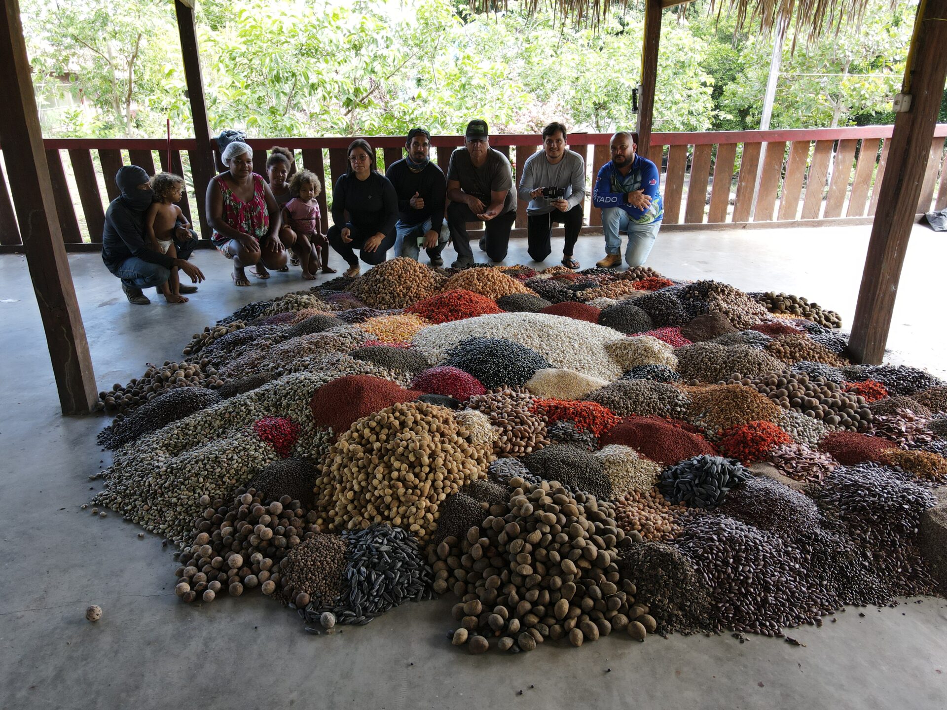
In the region between the Xingu and Iriri rivers, known as Terra do Meio, in the Brazilian Amazon, areas previously [...]

Post
30 de March de 2026
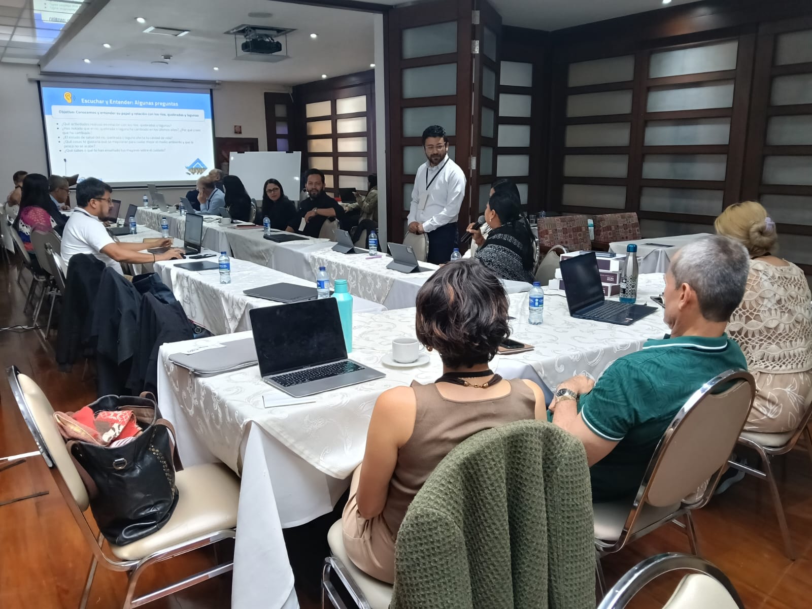
On March 5 and 6, 2026, the city of Bogotá, Colombia, hosted a technical meeting that brought together experts and [...]

Post
22 de March de 2026
World Water Day, celebrated on March 22, is a date established by the United Nations (UN) and, in 2026, features [...]