
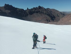
In April and May, the National Water Authority (ANA) of Peru, responsible for the national coordination of the Amazon Basin Project/OTCA, conducted a field expedition with the aim of evaluating and identifying glacier areas in the snowy mountain ranges of Carabaya and Apolobamba for the installation of two glaciological meteorological monitoring stations and two hydrometric stations.
The activity was the first in a series planned within the framework of the intervention project, which is carried out in the context of the Strategic Actions Program (PAE) for the integrated management of water resources in the Amazon. The project aims to provide water supply alternatives to communities that depend on water from identified glaciers and need to adapt to the melting caused by global warming.
From the snowy mountain ranges of Carabaya and Apolobamba, located in the tropical Andes, flow the waters of the Limbani, Ayapaya, and San Gabán rivers, which feed into the Amazonian Inambari river and directly supply water to a population of 30,727 people and indirectly to over 220,000 inhabitants of the Carabaya and Sandía provinces in the Puno region.
In the long term, glacier loss leads to a reduction in water resources and changes in hydrological regimes, with socioeconomic consequences, generating conflicts over water use.
Climate Change Indicators and Water Reservoirs
Tropical Andean glaciers are known for their high sensitivity to climate change on a decadal scale. According to engineer Nelson Santillán, from the Quality and Evaluation Directorate of Water Resources-ANA, their melting is one of the most visible special indicators of climate variations. “Given their rapid response, tropical glaciers are sensitive indicators of trends, evolution, and fluctuations in climate over several decades and, undoubtedly, are among the best indicators of global warming in the tropical zone.”
In Peru, which has 71% of South America’s tropical glacier area, the loss over the last 50 years is 53%. José Francisco Huaman Piscoya, Director of the Planning and Development Directorate of Water Resources of ANA, explains that “the problem of deglaciation affects the availability of water resources in the different valleys of Peru, where glaciers are located, because these sources are water reservoirs.”
In the tropical Andes of the Amazon, Huamán points out, glacier melting, like those identified in the Apolobamba and Carabaya mountain ranges, directly affects the availability of surface and groundwater and the water supply to communities for multisectoral uses such as irrigation, livestock, and mining.
Efficient Water Use and New Supply Sources
Through the glacier monitoring project in Apolobamba and Carabaya, the Peruvian government and the Amazon Cooperation Treaty Organization – OTCA seek to develop proposals for efficient water resource use and supply alternatives in the districts of Quiaca, Sandía province, and Ayapata, Carabaya province, which largely depend on glacier water.
“The evaluation and monitoring of glaciers will allow us not only to formulate proposals for efficient use and alternatives for water supply but also to strengthen the capacities of communities in the area to plan their structural and non-structural measures,” emphasizes Director Huamán.
Once the monitoring stations are installed, they will generate real-time meteorological information and data on glacier coverage behavior and surface runoff, essential for water resources management and risks associated with extreme weather events. Based on this data, it will be possible to implement climate change adaptation measures at the regional and local levels.
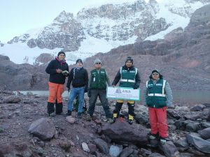
Field Evaluation
In addition to ANA technicians, representatives from the Madre de Dios Water Administrative Authority, Huarmey Chicama Water Administrative Authority, and Local Water Administration (ALA) Tambopata Inambari, among others, participated in the field evaluation of the glaciers of Carabaya and Apolobamba. The technical mission determined the political, hydrographic, and administrative location of glaciers with favorable conditions for monitoring and identified access routes. According to the results obtained, strategic points for the installation of meteorological and strategic stations were identified.
The national intervention also includes workshops for socialization and capacity building. The first socialization was held with authorities and mining companies from the Taype and Pacaje – Huanutuyo population centers in the Carabaya Cordillera and the Untuca population centers, CORI PUNO S.A.C. mining company, and the San Miguel de Untuca Mining Committee (Apolobamba Cordillera). This action of the project generated expectations among the local residents, who hope that the monitoring stations will allow them to understand the water supply regime from glacier contribution and be better prepared to face climate phenomena.
Strategic Actions Program (PAE)
The actions of the intervention titled “Water – alternative supply to adapt to glacier melting in the Carabaya and Apolobamba mountain ranges, Inambari river basin”.
Related news
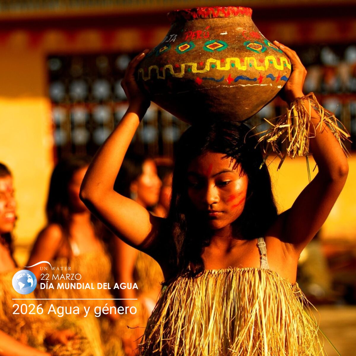
22 de March de 2026
World Water Day, celebrated on March 22, is a date established by the United Nations (UN) and, in 2026, features [...]

Virtual course presents the potential of cloud data analysis for Amazonian water resource management
5 de February de 2026
As part of the Amazonian Training Plan for Integrated Water Management, from the Amazonian Network of Water Authorities (RADA), the [...]
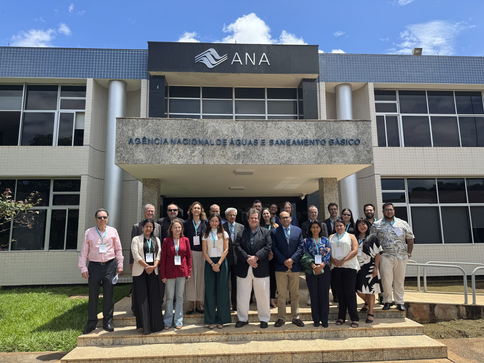
17 de December de 2025
On December 11, the Amazon Basin Project (ACTA/UNEP/GEF) held a Seminar on the Exchange of Cooperation Experiences for the Management [...]
